The Future of Our Escarpment
PitSense is a community of people organized to respond to proposals for further increases in the number and size of aggregate operations in Caledon.
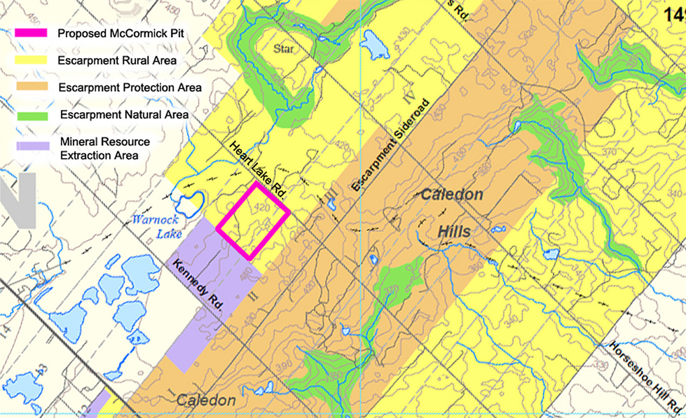
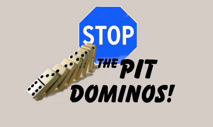
We are opposed to the continuing 'Domino Effect' growth of open pit mines and quarries in the agricultural and rural residential areas of the Niagara Escarpment and UNESCO World Biosphere Reserve.
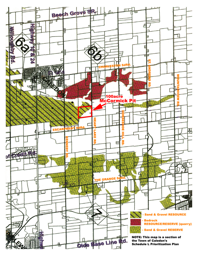
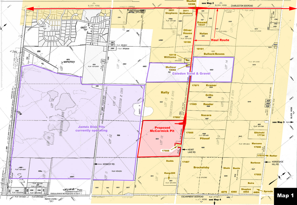
The map on the left (from Caledon's SCHEDULE 'L' map) shows some areas designated for future extraction of aggregate and stone. As can be seen from the area proposed for the McCormick pit, there are aggregate deposits outside the designated 'resource' and 'reserve' boundaries that are being targeted by aggregate companies. All the properties IN AND OUTSIDE the designated areas are at risk.
Click on maps to enlarge
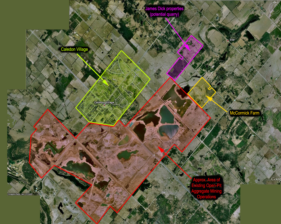
Studies have shown that residences in the vicinity of a proposed or operating pit suffer a loss of property value that is proportionate to the proximity to the pit. The effect extends as far as 5 miles out. Where you live in relation to a proposed pit or quarry, or in relation to the specific pit shown on the preceding map, will determine your degree of potential loss. At what point should you get concerned? Before or after you suffer significant loss of equity?
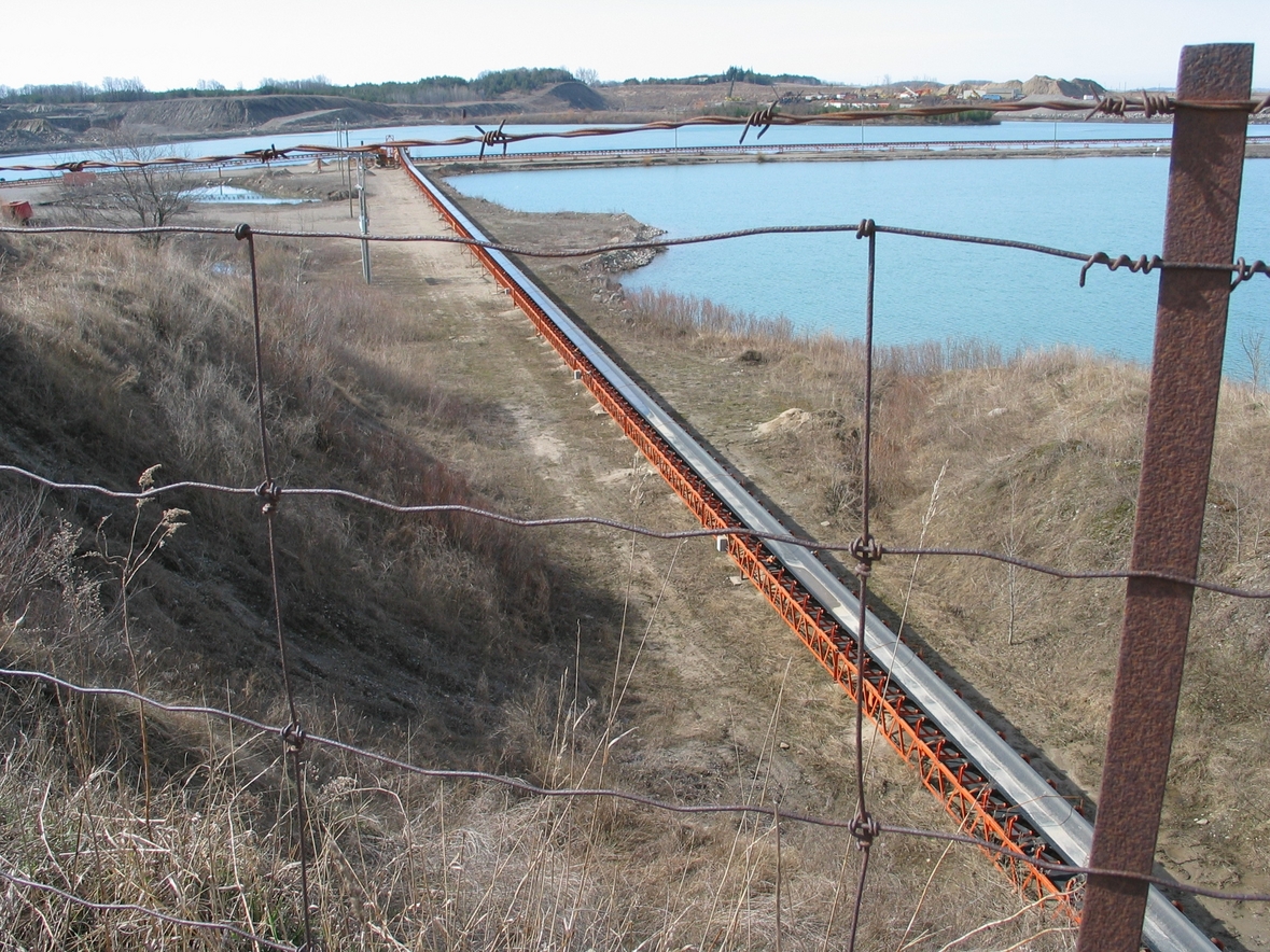
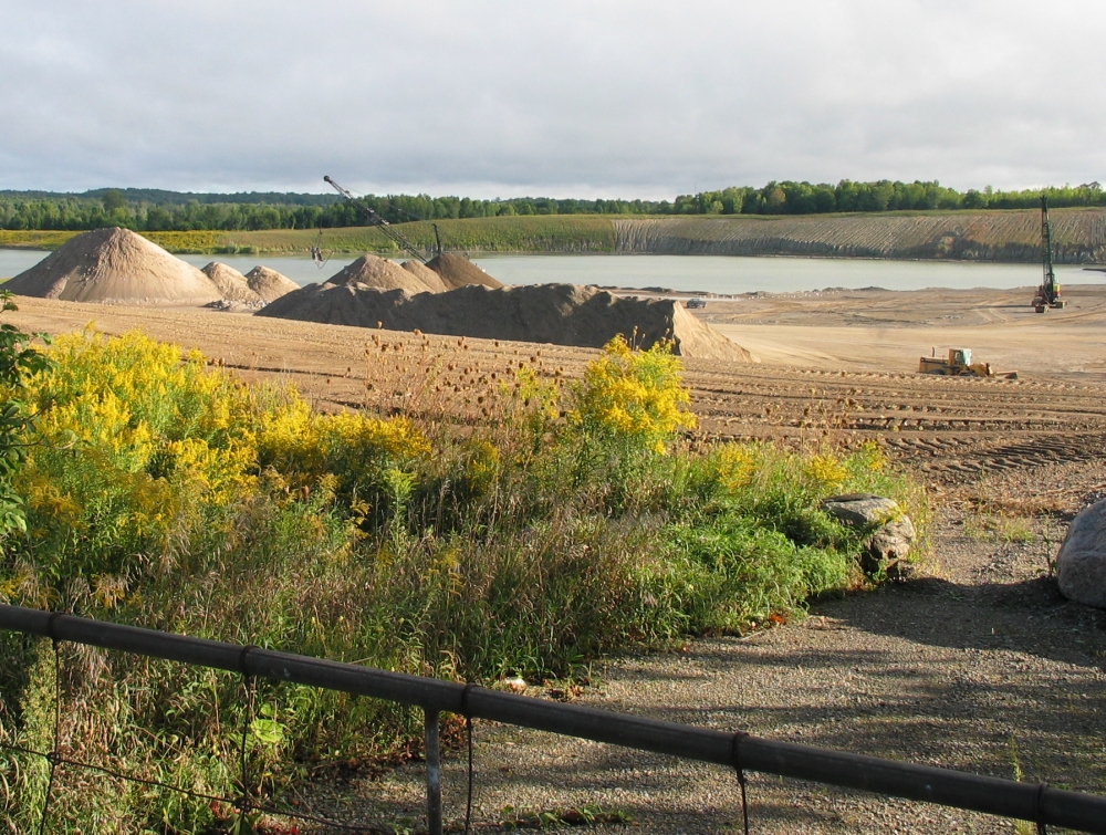
PHOTOS
click here
Copyright © 2010-2024 PitSense Niagara Escarpment Group Inc.
All rights reserved
Click on
maps
to enlarge
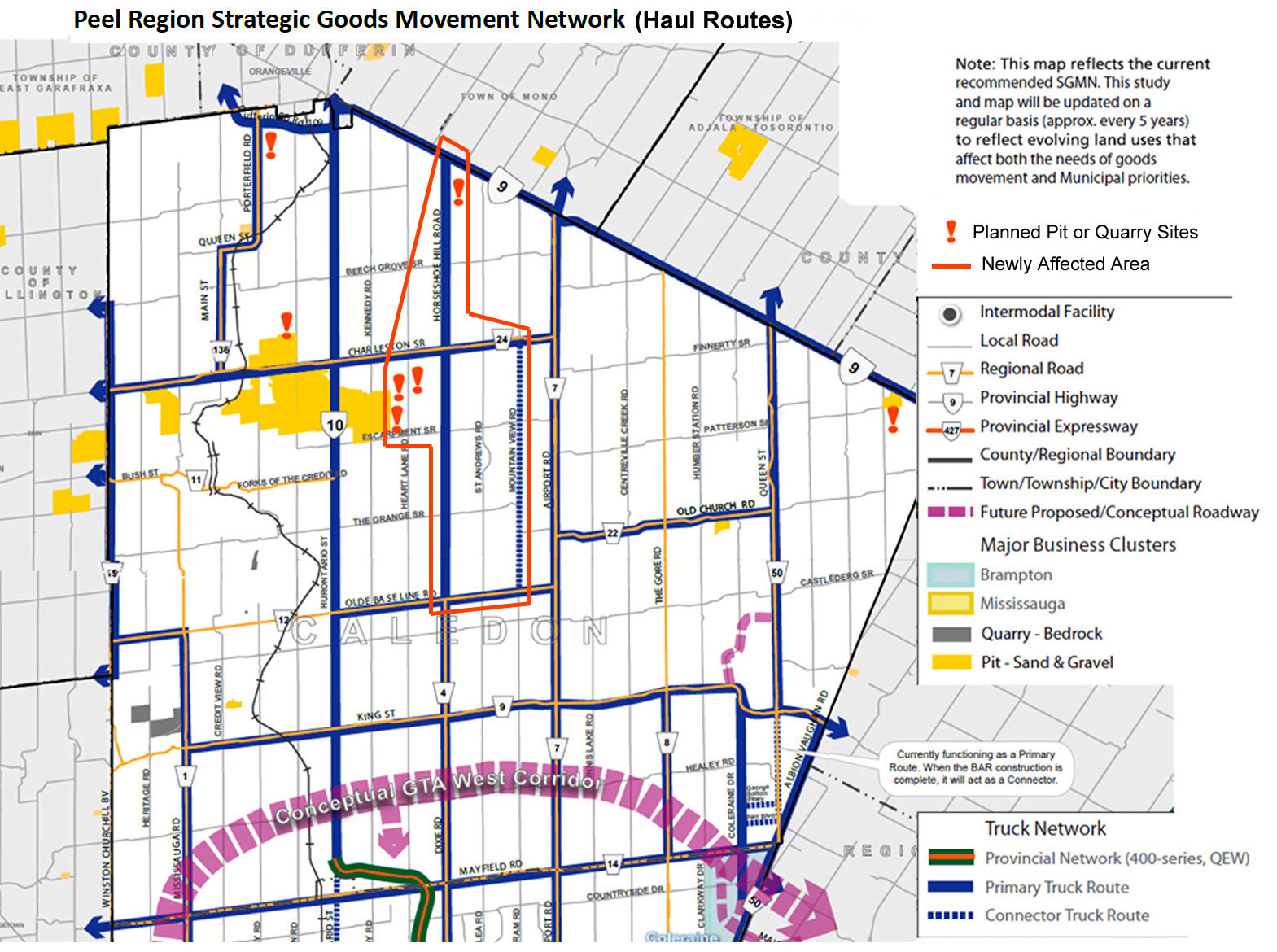
Peel Region's Transportation Division is presently (July 2014) studying a recommendation to convert rural roads to heavy truck haul routes. Residents on Horseshoe Hill Rd. and Mountainview Rd. would be seriously impacted if these recommendations are accepted. We are watching these developments very closely.
<< Click on image to enlarge
